The Natural Resources Department administers natural resource programs for the Keweenaw Bay Indian Community on the L'Anse, Marquette, and Ontonagon reservations as well as the western Upper Peninsula of Michigan (1842 ceded territory). These programs encompass a variety of activities, including: Lake Superior fishery assessments, Baraga County stream assessments, surface water and ground water monitoring, air and radon studies, brownfield programs, wildlife and wetland management, environmental assessments, monitoring of metallic mining and exploration activity in the Lake Superior basin, participation in the protection and enhancement of Lake Superior, and fish stocking from our hatchery.
The department facilitates projects through grants from the Bureau of Indian Affairs, U.S. Environmental Protection Agency, U.S. Fish and Wildlife Service, and U.S. Department of Agriculture. The KBIC Tribal Council funds hatchery operations.
Our department is guided by a 10-year Integrated Resource Management Plan adopted by the Tribal Council and Bureau of Indian Affairs in 2003, and by the KBIC Strategic Plan adopted in 2005. Read more here.
NEWS and ANNOUNCEMENTS
Water Quality Standards
Study of Fish Contaminants in Lakes in the Keweenaw Bay Indian Community Fishing Territory
Assessment of Risk to the Keweenaw Bay Indian Community from Cumulative Toxicity of Chemical Contaminants in Lake Superior, Torch Lake, and Portage Lake Fish
Methylmercury Sources and Distribution in the Torch Lake Watershed
Assessment of the Keweenaw Bay Indian Community's Fish Consumption
Integrated Resource Management Plan (IRMP) and Climate Resiliency Plan (CRP)
Food Sovereignty Symposium and Festival
Aquatic Invasive Species Adaptive Management Plan
Forest Stewardship Plan
Medical Facility Information and Resource Guide
Terrestrial Invasive Species Management Plan
Pollinator Protection Plan
Wetland Program Plan
CARE By-laws (Resolution)
Story Map: Debweyendan (“believe in it) Indigenous Garden (DIGs) initiative (see also Sovereignty section) - Dec 12, 2020
A Portfolio for Community Workshops: Debweyendan Indigenous Gardens (DIGs) - Nov 15, 2020
Story Map: KBIC Brownfields Tribal Response Program (see also Brownfields page) - Oct 20, 2020
Saving Buffalo Reef - Video
Community calendars, activities & celebrations
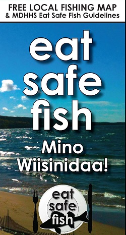
Michigan Department of Health and Human Services (MDHHS) Eat Safe Fish Guide
Some fish contain chemicals that can harm your health. MDHHS tests fish taken from Michigan’s lakes and rivers to learn which fish are safer to eat. The Eat Safe Fish guides list the fish that have been tested and how much is safe to eat.
Great Lakes Indian Fish & Wildlife Commission (GLIFWC) Mercury Maps are available to help tribal members make informed choices that allow continued ogaa consumption while reducing their exposure to mercury. The maps provide the facts about mercury levels in ogaa in ceded territory waters where member tribes commonly harvest these fish.
|
Real-time observations
|


